Ever looked at a United States West region map and wondered why some people think Montana is "The West" while others swear it’s the Midwest? Maps lie. Or, more accurately, maps are subjective. If you ask the U.S. Census Bureau what the West looks like, they’ll give you a massive chunk of land stretching from the crashing waves of the Pacific all the way to the Great Plains. But if you ask a local in Denver, they might have a very different opinion about whether they share a "region" with someone living in a high-rise in San Francisco.
The West is huge. It’s basically half the country.
When we talk about the American West, we aren't just talking about a direction. We’re talking about a massive geographic identity that spans 13 states—if you’re following the standard federal definition. It’s the land of the Rockies, the Sierra Nevada, the Mojave, and the temperate rainforests of the Pacific Northwest. It’s also the only region where you can go from the lowest point in North America (Badwater Basin) to some of the highest peaks in the lower 48 within a few hours of driving.
The Census Bureau vs. The Reality of the West
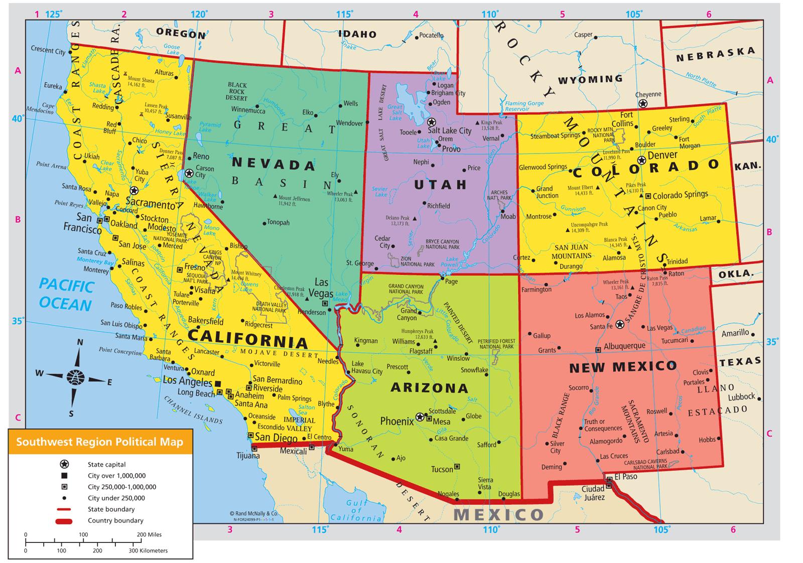
The most common United States West region map you’ll find in textbooks is the one drawn by the U.S. Census Bureau. They split the West into two distinct sub-regions: the Mountain States and the Pacific States.
The Mountain States include Arizona, Colorado, Idaho, Montana, Nevada, New Mexico, Utah, and Wyoming. Then you’ve got the Pacific States: Alaska, California, Hawaii, Oregon, and Washington. It’s a clean way to organize data, but it feels a bit weird when you realize it lumps Honolulu in with Cheyenne.
Geology doesn't care about state lines.
The "Arid West" is a concept popularized by John Wesley Powell, the second director of the U.S. Geological Survey. Back in the late 1800s, Powell looked at the 100th meridian—the line of longitude that roughly bisects the Dakotas, Nebraska, Kansas, and Texas—and noted that everything west of that line was significantly drier. This "Line of Aridity" is arguably a better way to define a United States West region map than any political boundary. West of that line, you can't rely on rainfall for farming. You need irrigation. You need to fight over water. That shared struggle for water rights is what actually defines the West's history and its future.
Why the 100th Meridian is the Real Border
Most people think of the West starting at the Rockies.
But honestly, the transition starts way sooner. If you’ve ever driven Interstate 80 or Interstate 70 through the middle of the country, you know the feeling. The trees start getting sparse. The grass turns from a deep emerald to a dusty gold. The sky just feels... bigger. This is where the Great Plains meet the West.
Environmental historian Donald Worster once argued that the West is defined by its "hydraulic society." Because it's so dry, the government had to step in to build massive dams like the Hoover and the Glen Canyon. This created a unique power dynamic where the federal government owns a staggering amount of the land. In Nevada, for example, the feds own about 85% of the state. Compare that to a state like Connecticut, where federal land ownership is basically zero. This is why a United States West region map often looks like a patchwork of national forests, BLM land, and tribal reservations.
The Pacific Northwest Outlier
Then you have the "Wet West."
Washington and Oregon break all the rules. While the rest of the region is worrying about wildfires and droughts (though they deal with those too), the coastal regions of the PNW are getting drenched. This creates a cultural and ecological rift. Is a rainy day in Seattle really the same "West" as a 115-degree afternoon in Phoenix?
Probably not.
But they are tied together by the Pacific Rim. The economies of the West Coast are deeply linked to trade with Asia, more so than the interior states. This creates a "Left Coast" identity that stands in stark contrast to the rugged, often more conservative "Interior West." If you look at a political United States West region map, you’ll see this reflected in the bright blue coastal states and the deep red or purple mountain states.
The "New West" vs. The "Old West"
The map is changing because the people are moving.
For decades, the West was defined by extraction. Mining in Montana, logging in Oregon, cattle ranching in Wyoming. This was the "Old West." But if you look at a modern United States West region map showing population growth, the heat map is centered on tech hubs and "amenity migrants."
Places like Boise, Salt Lake City, and Bozeman are exploding.
People aren't moving there to mine silver; they're moving there because they want to mountain bike after work. This shift is creating a "New West" where the value of a mountain is measured by its ski runs rather than the minerals inside it. This transition isn't always smooth. It leads to what some call "gentrification of the wild," where locals are priced out of towns that have been in their families for generations.
Misconceptions That Mess Up Your Map
Kinda funny how many people forget Alaska and Hawaii are part of the West.
Because they aren't "contiguous," they often get tucked into a little box in the corner of a United States West region map. But Alaska is the ultimate Western state. It’s got more wilderness, more public land, and more "frontier spirit" than the rest of the lower 48 combined. Hawaii, meanwhile, brings a Polynesian and Asian-Pacific influence that is vital to the region's cultural fabric.
Another big mistake? Thinking the West is all mountains.
The Great Basin, which covers most of Nevada and parts of Utah, is actually a high desert. It’s a series of "basins and ranges" where water never reaches the ocean. It just evaporates or sinks into the ground. It’s one of the most desolate and beautiful landscapes on earth, but it’s often overlooked by people rushing to get to the "pretty" parts like Yosemite or the Grand Canyon.
Mapping the Future of the West
The most important United States West region map of the next 50 years won't be about state lines.
It will be a map of the Colorado River Basin.
Seven states—California, Arizona, Colorado, Nevada, New Mexico, Utah, and Wyoming—depend on the Colorado River for water and electricity. As the climate shifts and "megadroughts" become the new normal, the legal and physical boundaries of this river basin will define who can live where and what industries can survive. The "Law of the River" is basically the secret constitution of the West.
If the water runs out, the political borders on your map won't matter much.
We’re already seeing this play out in the "Great Salt Lake" crisis in Utah or the dwindling levels of Lake Mead. The West is a land of extremes, and those extremes are getting more pronounced. A map of the West today is a snapshot of a region in the middle of a massive identity crisis, caught between its cowboy past and its high-tech, water-starved future.
Actionable Insights for Navigating the West
If you're using a United States West region map to plan a move or a massive road trip, stop looking at the state names and start looking at the topography and land ownership.
- Check the BLM (Bureau of Land Management) maps. If you want to camp for free and avoid the crowds of National Parks, these maps are your best friend. Most of the West is public land, but you have to know which agency manages it.
- Understand the Rain Shadow. When you look at a map, notice how the green areas are almost always on the west side of mountain ranges (like the Cascades or Sierras). The east side is usually a "rain shadow" desert. Plan your gear accordingly.
- Don't trust GPS travel times. A "short" distance on a Western map can take hours because of mountain passes, switchbacks, or unpaved forest service roads. Always add 20% to your estimated arrival time.
- Water is gold. If you’re hiking or overlanding, "creeks" on a map are often dry washes. Never assume a blue line on a map has actual water in it unless you've checked recent local reports.
The West isn't just a place on a map; it's a set of challenges and a specific kind of vastness that you can't really grasp until you're standing in the middle of it. Whether you're looking at the Pacific States or the rocky heart of the interior, the United States West region map is a guide to some of the most diverse and rugged terrain on the planet. Just remember that the lines are thinner than they look, and the land always has the final say.